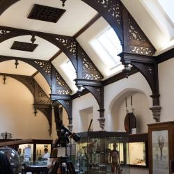
skip to content

Read more at: Explore Whipple Collections
Detail of glass fungus model

Explore Whipple Collections

In-depth articles about some of our key collections.


Read more at: About Us

About Us

Who we are, our history and how to get involved


Read more at: Learning

Learning

School visits, guided tours and more


Opening Times

Please note that our lift is currently out of action and we do not have a step-free entrance.

Our maintenance unit is dealing with this urgently, and we hope to resolve within the next two weeks.

We are open five days a week, 12.30 - 16:30.

Monday 12.30 - 16:30

Tuesday 12.30 - 16:30

Wednesday 12.30 - 16:30

Thursday 12.30 - 16:30

Friday 12.30 - 16:30

We hope to see you soon!

Explore Collections

Read more at: Mapping Weather and Modern Meteorology

Mapping Weather and Modern Meteorology

A chart of the Indian Ocean showing the temperature of the water, the currents of the air and ocean, directions of the wind, as well as districts of hurricanes, regions of typhoons, and trade routes.

The nineteenth and twentieth centuries saw a more systematic approach to collecting accounts of weather conditions, which included charting weather on maps. With the development of the aviation and space industries, collecting data from the three layers of our atmosphere - mesosphere, troposphere, and stratosphere - became increasingly important.